Aerial Photography
On Demand
We provide aerial imaging where and when you need it.
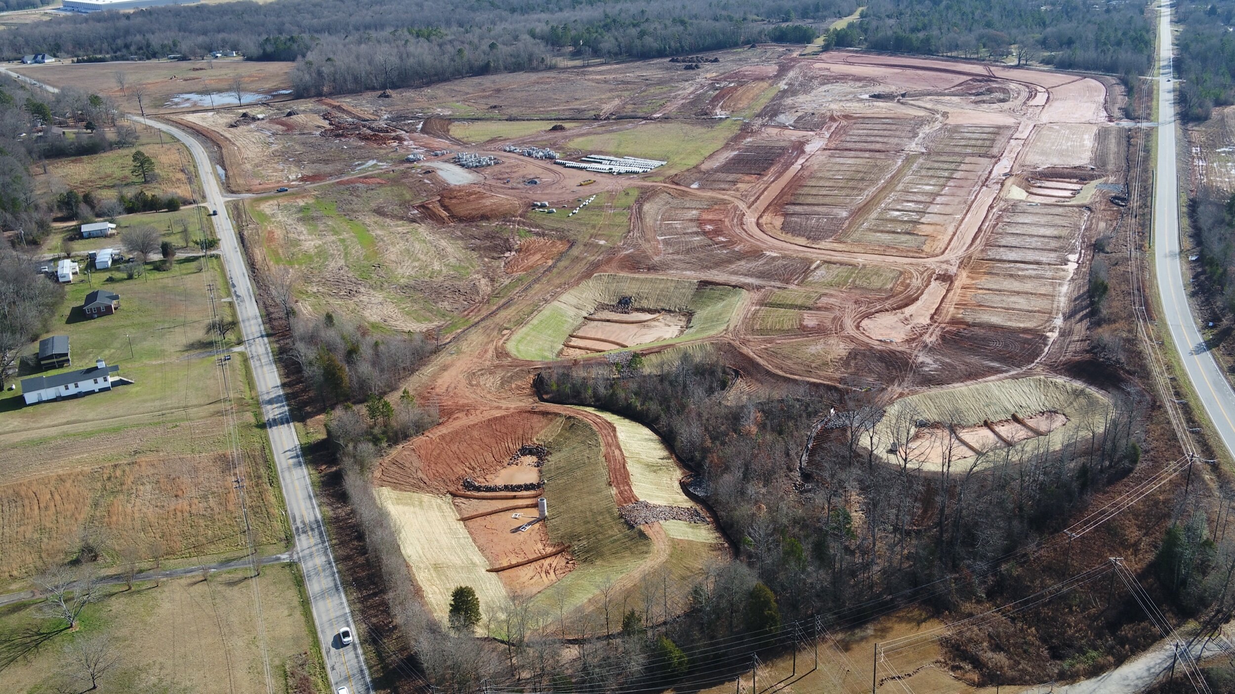
From real estate photography to erosion management. We do it all. Ranging from: orthomosaic mapping providing a high resolution aerial map of your site; beautiful images of homes and land; detailed erosion documentation so you know exactly where to target management; and job site photos to track development. Drone photos do it all.

Our Work
Find out about our mission, methods, and results.

Take Action
Ready to take the next step? We would love to get to know you and your business.